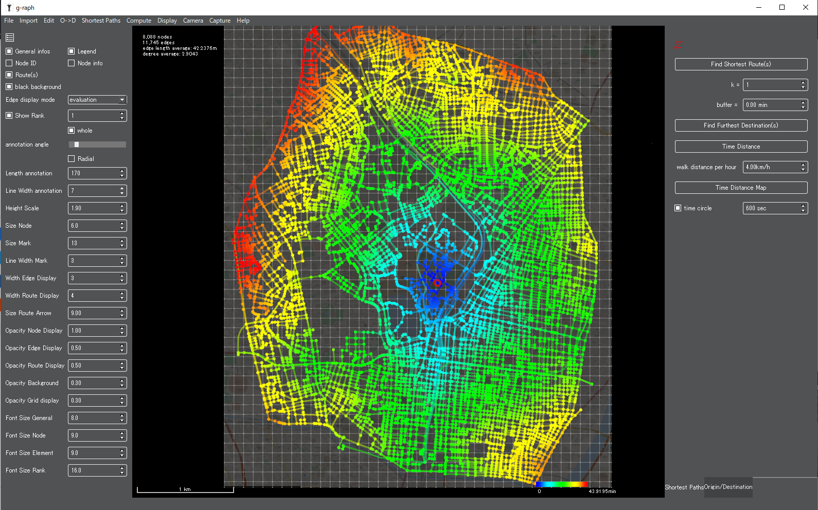
Featured
g-raph version 1.0.0
Building and City engineered design. Graph theory. Evidence based.
g-raph is developed by QAI Ltd. and the urban research laboratory hclab.
It is the successor to StreetView, the street-network analysis tool by hclab., and carries over all of its functions.
StreetView received the Algorithmic Design Quest Vanguard Prize in 2014.
Graph theory applied to architecture and the city. Evidence-based design.
Building and City engineered design. Graph theory. Evidence based.
g-raph plugin for tcp/ip JSON communication and python wrapping How to start. Place the python module py_g_raph.py at the library path or beside your script.Thi...
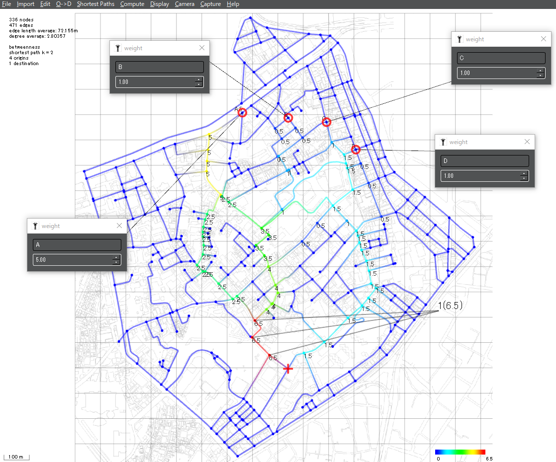
most crowdy place Location problems in cities layout ideas street city design
Find Shortest Route(s): It finds Shortest route(s) between origin(s) and destination(s). It requires select at least 1 origin and 1 destination. k = : It finds ...